Source: The Star
Published on 23rd February, 2015 by Julian Moll-Rocek

Ongoing work into tree cover differentiation will help resolve the main criticism against remote sensing-based forest-monitoring tools: the lack of distinction between natural forests and plantations.
How forests are defined can affect aerial monitoring of deforestation.
“We live in a world of constant beta,” explains James Anderson, communications officer for the World Resources Institute’s (WRI) forests programme. Nearly every week features are tweaked on the Global Forest Watch (GFW) platform, an innovative mapping system that allows users to track changes in global forest extent, among other features. Constant innovation in technological capability as well as broad social engagement, allowing for more on-the-ground verification, keep GFW on the cutting edge of forest monitoring.
However, one fundamental thing remains elusive: what exactly is a forest? With forest definitions differing from country to country, and primary forests, secondary forests, and even tree plantations all perceived collectively as “tree cover” by satellite data, how does one accurately keep tabs on land changes? To confront this issue, GFW has implemented a number of new features in recent months. One of these allows the user to adjust the density of tree cover to suit their own definition of “forest”. Ranging from 10% to 75% canopy cover, this reflects the flexible definition put forth by the Kyoto Protocol, which required countries to define a national canopy cover between 10% and 30%.
However, the function is not without its caveats; namely, it can only be applied to forest extent and loss, but not to forest gains. As Dr Fred Stolle, manager of WRI’s Forest Landscape Objective explained, “a signal of a tree falling is very easily recognised, but, of course, regrowing from a seedling to a bigger seedling to a tree takes a couple years before you see it. How we deal with that, we don’t know yet.” In particular, the difficulty in using remote sensing techniques in classifying the re-growth of forests means serious challenges for monitoring forest restoration goals set by the United Nations.
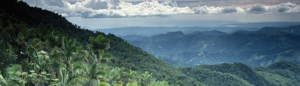
 The World Resources Institute and Google have partnered for forest conservation by launching the Global Forest Watch, an online monitoring platform that tracks forest loss and gain worldwide. Image: Global Forest Watch